


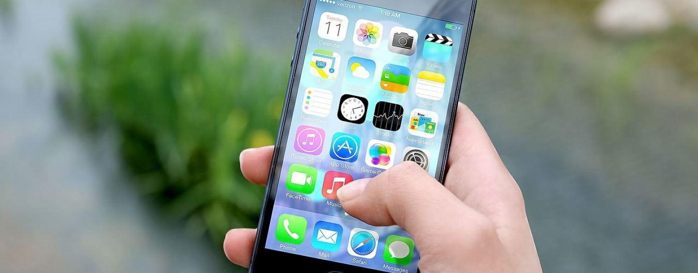
Smartphones and tablets have become omnipresent in our daily lives, whether we are working or playing. And boating is no exception. There are hundreds of apps out there covering every essential skill a responsible boater should have, from navigation and seamanship to weather and tide forecasting, and it is easy to get confused by the abundance of choices available. We have gone the extra mile to find the most useful ones.

Boating AU & NZ by Navionics
Often imitated, never duplicated, Navionics charts are integrated in the world’s top chartplotter brands. Best installed on a tablet for comfort of use, this app effectively turns your device into a powerful navigation tool that lets you track and save your favourite routes, add your own waypoints, see map edits made by the Navionics users’ community, add your own geo-tagged photos, and even download maps for offline use should your adventures afloat take you outside of 4G coverage. The graphics are very easy on the eye, and the Easy View option can magnify icons and text for enhanced legibility. As with all electronic navigation tools using vector charts, make sure you zoom in to get a complete picture of your surroundings and potential navigational dangers. Its Weather & Tides function gives you access to real-time tide height and current information, as well as a 72-hour wind forecast.
If you were to buy only one boating app, this is the one.
Platforms: iOS and Android
Cost: from $26.99, including a 1-year subscription to Navionics+ that allows satellite overlay, dock-to-dock auto-routing, access to live weather and tide information, sonar charts for fishing, daily charts updates, and WiFi sync with compatible plotter models.

Anchor Watch by Lukassen
This little gem of an app could be the key to a good night’s sleep on the pick after a fun day out. It lets you set your anchor’s position either by a tap on the screen or by entering GPS coordinates manually, and then choose any safe radius you like, from as narrow as 10m. If the boat drifts outside of your “safe zone”, not only will the phone vibrate, ring and display a pop-up, but you also have the option of sending an SMS and even automatically calling a number of your choice, so your crew members can be roused from their slumber if the need arises to get all hands on deck – all of that for less than the price of a Cherry Ripe. That’s a sweet bedtime treat if we know one.
Platforms: iOS only
Cost: from $1.49
![]()
Boat Beacon by Pocket Mariner Ltd
This smart collision-avoidance tool uses an internet connection and shore-based stations to collect and disseminate live AIS (Automatic Identification System) data related to the position, course and speed of vessels. It will give you the range, bearing and CPA (Closest Point of Approach) of any vessel within a 30-mile radius, and sound an alarm should a risk of collision be detected. It also offers a number of additional safety features, such as a man-overboard tracking function. This app does not, however, turn your device into an AIS transponder (which relies on the same VHF waves as your marine radio) and other vessels will see your boat only if they also have access to internet-based AIS.
Last but not least, family and friends ashore can track the position of your boat via the free sister app [insert app logo] Boat Watch, allowing for extra peace of mind while you’re out there braving the elements.
Platforms: iOS and Android
Cost: from $19.99

Marine Rescue NSW by AliveMobile
If your boating takes you south of the border, consider adding this amazing free app to your arsenal. After setting up your boat and trailer details, it allows you to log your trip, ETD and ETA, and leave the details of a contact ashore with VMR (Volunteer Marine Rescue). If you do not log off or signal your safe arrival by the set ETA, they will try to contact you and potentially send a rescue team, saving you precious hours in the case of an incident at sea. The app also includes a useful pre-departure checklist and procedures for issuing distress and emergency messages at sea, as well as a button to call 000 directly and summon help – a potential lifesaver of an app that we would like to see rolled out to other states.
Platforms: iOS and Android
Cost: Free
Safety Considerations
Whichever app(s) you chose, be mindful that they use a significant amount of power, particularly if they use GPS to track your progress. It is a good idea to investigate how you can set up a charging facility on your boat if it is not already fitted with one. The easiest option is probably to connect a cigarette lighter plug to your battery bank and use a USB adapter.
Electronic devices do break down, and compass accuracy can be significantly degraded by the proximity of magnetic objects and other metal masses on board. No navigation app, however good it is, should see you go boating without at least a proper marine radio, a paper chart back-up, and a hand-bearing compass.
Finally, keep in mind that, unlike your chartplotter and other marine instruments, your smartphone or tablet is not impervious to the elements, and will benefit from having a water- and shock-proof case, possibly with built-in buoyancy.
By Celine Flamain


